The cartography page on the Forgotten Realms Wikia page suggests that the circumference of Abeir-Toril is about 40,007 km. That compares to Earth with about 40,075 km. That’s not the same but it’s a pretty good match.
Redditor McCourt spent “Countless total hours, just messing around, fixing little things… a labour of love, though, so who’s counting?” made the .kmz file available via dropbox.
Grab the Google Earth file here.
Gamers will debate over the exact placement of cities and worry about the Spellplague but I think this is simply a powerful way to view a fantasy setting.
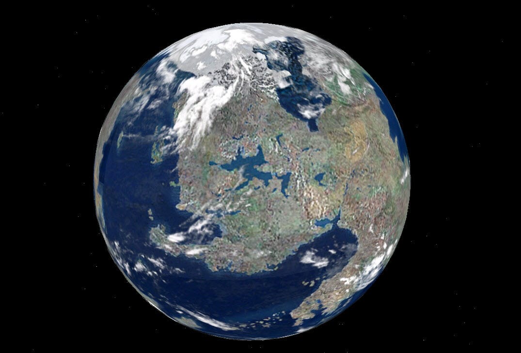
Here’s how Faerun might look from space.
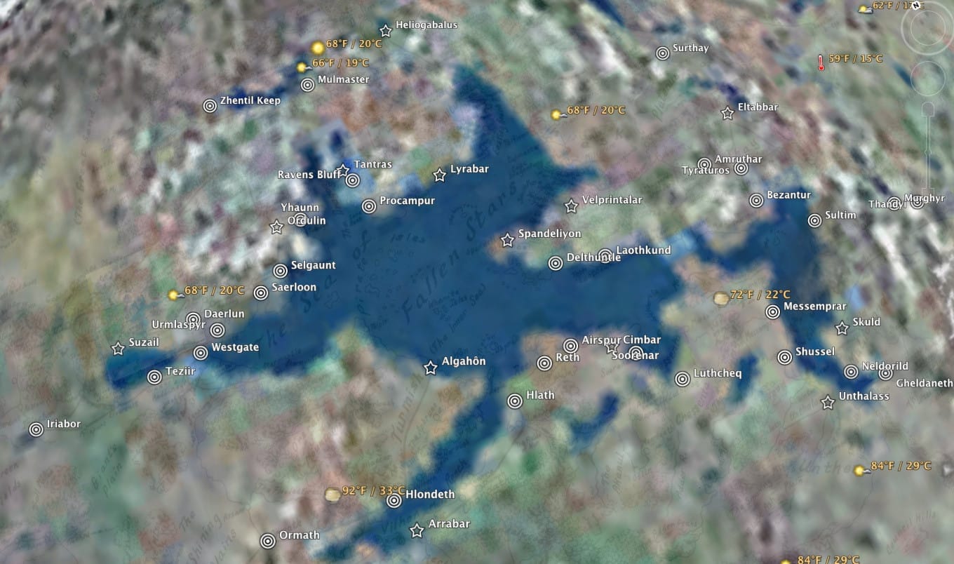
The weather around the Sea of Fallen Stars.
McCourt provides guideance on, roughly, how Latitudes for cities on the Sword Coast match up to cities on Earth.
Luskan = Buffalo
Neverwinter = New York City
Waterdeep = Nashville
Baldur’s Gate = Orlando
Athkatla = Havana
Calimport = San Salvador

There’s no way of knowing when McCourt will need DropBox space back again, so I’d grab the file while you can.

That’s a very cool project. I was wondering if apps like Campaign Cartographer or Fractal Worlds from Profantasy can output Google Earth compatible worlds… it would be so awesome to have fantasy worlds viewable like this…
I’m far from an expert but I understand .kml (from the old Keyhole service Google bought) is just a file format not unlike XML. The output would be easy part. I think the main challenge is that Google Earth expects an Earth like size of planet.
Fractal Worlds outputs to Google Earth, just save as a .kml file
i just found this site? anyone have the Toril file??
I don’t suppose any of you kept a copy of this… I’m the original creator of the .kmz file, but damned if I can find a copy of it anywhere.